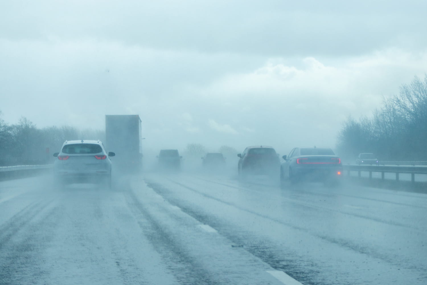
We remember the winter of 2010…
A well-known meteorological phenomenon, an ice storm occurs when rain or drops of snow fall on already frozen surfaces. Rain, for example, is still liquid when it hits the ground, but it immediately freezes on impact, forming a layer of ice on everything it touches: roads, trees, electrical cables. This is the “extreme” version of black ice: the main danger lies in the rapid formation of a layer of very slippery ice, which can transform roads into ice rinks and infrastructure into invisible traps.
France has not experienced a real ice storm since the winter of 2010, which covered a large part of the north of the country. Since then, our winters have generally been less cold, probably because of global warming. But you shouldn’t think you’re safe: this phenomenon remains rare, but extremely intense. It’s not just a few slippery roads, but an event capable of paralyzing an entire territory, cutting off heat and electricity, and even threatening lives. When ice falls from the sky, you better be prepared and stay warm.
Although the risk of ice storms still exists, it seems that the situation this year is less alarming than expected. Indeed, seasonal forecasts for winter 2025-2026, proposed by several experts and meteorological services, tend to indicate a milder winter than normal. According to Météo-France, “the most likely scenario is a mild trend, not a widespread, multi-day ice storm“However, meteorologists suggest that there will most likely be occasional cold spells, freezing rain and snowfall in some areas.
Authorities and weather services continue to monitor the situation closely, but for now, the risk of nationwide paralysis is low.
In general, it is prudent to be vigilant in the face of any cold episode, because the speed of ice formation requires immediate preparation and reactivity to avoid accidents and cuts to essential services.


