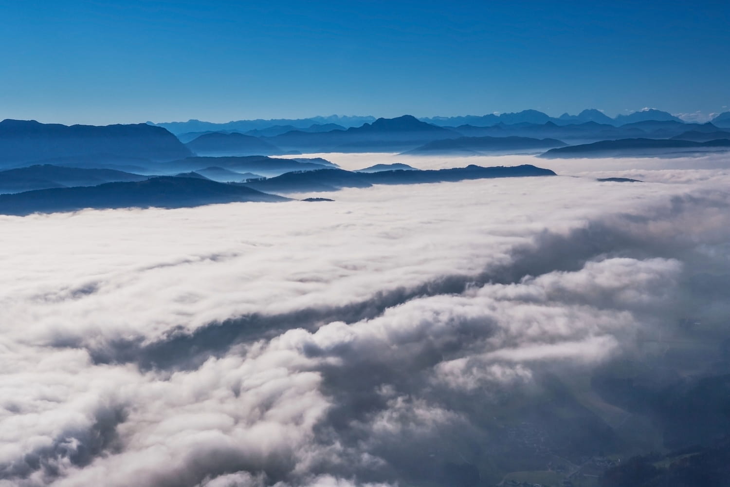
This spectacular atmospheric phenomenon is common in autumn and winter due to nighttime cooling.
Between low sky and bright light, the contrast is striking this Thursday. In this part of France, residents can see from certain summits a vast white expanse, smooth like a lake, which covers the entire landscape below. Below, there is a gray sky, damp and without a ray of sunlight. Two atmospheres, two seasons almost, for the same territory. And according to forecasts, this situation is expected to continue on Friday.
This visually exceptional phenomenon is called a “sea of clouds”. It forms when cold, heavier air accumulates in the valleys and remains trapped under a layer of softer air at altitude: this is the consequence of a temperature inversion. In these calm, windless conditions, moisture condenses and forms a thick layer of stratus or fog. Result: the valleys remain plunged into persistent grayness, with a feeling of cold and humidity, while in the mountains, above around 1500 meters, the sky is a clear blue and the mildness is very present.
This sea of clouds settles into the Northern Alps on October 9, according to the Météo-Alpes bulletin. The valleys of Savoie, Haute-Savoie and Isère in the Auvergne-Rhône-Alpes region are particularly affected. The phenomenon should continue until the morning of October 10, before partial dissipation in the afternoon. Above 2000 meters, the sun will largely dominate, providing ideal conditions for hikers and lovers of spectacular landscapes. On the other hand, in the valley floors, the weather will remain grayer, with temperatures struggling to exceed 15°C.
This alternation between gray and big blue skies marks the return of typically autumnal conditions in the mountains. A situation that is often frustrating for those who live “below”, but magical for those who climb “above”. If the forecasts are confirmed, the sea of clouds could still offer, at daybreak, one of the most beautiful natural spectacles of the season – before the sun comes, little by little, to dissolve it.


