After a period of exceptional mildness, temperatures will drop. Now is the time to anticipate.
Under the influence of an air mass of subtropical origin, France is currently experiencing a wave of unusual mildness for this time of year. Those who dread winter are delighted while others, more attached to the seasons, impatiently await the cold. Good news (or not): it will arrive next week, according to weather specialists.
An anticyclone will strengthen over the North Atlantic, causing a northerly flow which will bring cold air down from Iceland towards Western Europe, detailed meteorologists from La Chaîne Météo. France will be directly affected by this phenomenon. This sudden shift in air masses is expected from Monday, November 17: “A polar shift will invade France next week, with temperatures falling well below seasonal norms” warn these experts on the social network
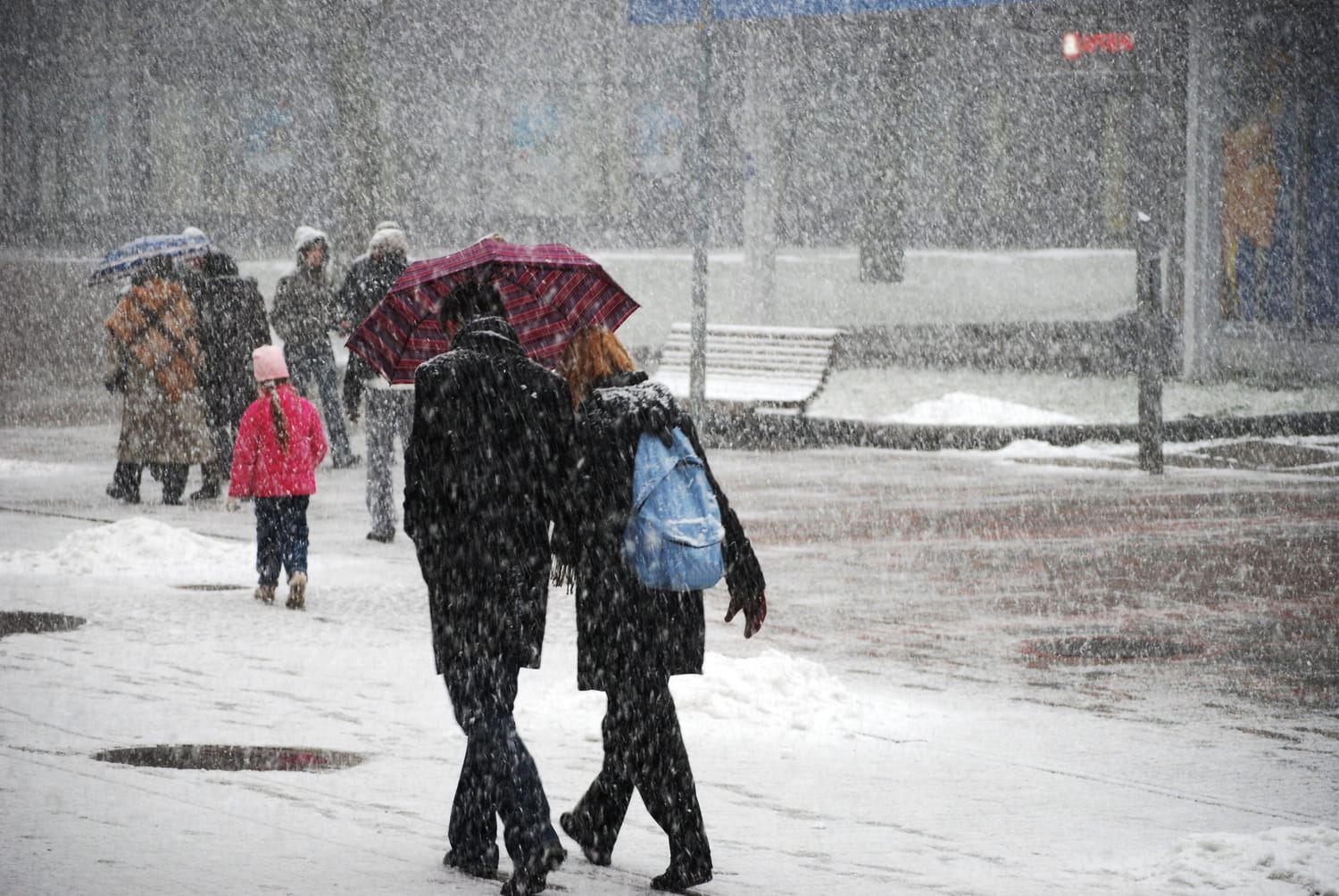
This polar shift, which refers to the sudden arrival of a mass of cold air from regions close to the pole, will cause temperatures to plunge dramatically. According to forecasts, the national thermal indicator should increase from 16°C on Friday, to 8°C next Tuesday, then 5°C on Thursday. “We anticipate an air mass at –3 to –4°C over a large part of the north and east of the country. This kind of sudden reversal between two such different air masses is rare in this season” continue the meteorologists. Snow could even return at low altitude, in the mountains.
“The feeling will quickly become autumnal, even wintery in the mountains with a clear lowering of the rain-snow limit towards 1000 to 1200 m altitude from Tuesday.” Losing 8 to 10 degrees in such a short time is worth anticipating: it’s time to bring out your hats, scarves and big coats to be ready.


