As France goes through a winter sequence marked by freezing temperatures, an “explosive storm”, characterized by a spectacular drop in pressure, is approaching. What exactly should you expect? Forecasts and risk areas.
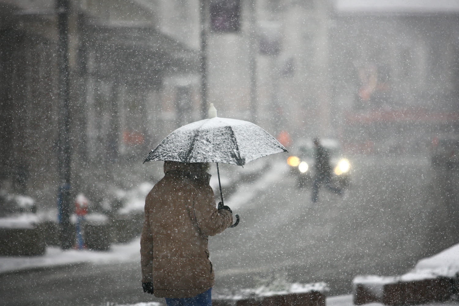
January is definitely the month of quite exceptional climatic events. That it snows in winter is not surprising. But such significant falls in regions usually spared from the cold, such as the south of France, remain rare enough to be highlighted. Météo-France also confirms that the current winter episode in France is “outstanding” : “It hasn’t been this cold in France for at least 8 years, even 14 years, and such cold episodes are becoming increasingly rare with climate change.” And the weather is not going to improve straight away since a storm is forecast from Thursday January 8.
This storm called “Goretti storm” will approach Brittany on Thursday afternoon and circulate towards Hauts-de-France during the night from Thursday to Friday. It will be accompanied by very strong gusts of wind “even violent on the Channel coast” warn Météo-France experts. “This is what we call a weather bomb, or explosive storm. This depression coming from the British Isles will pick up speed, deepen and turn into a storm.”explains meteorologist Stéven Tual to Ouest-France.
An “explosive” storm refers to a storm that strengthens at high speed, as if someone suddenly stepped on the accelerator. Concretely, the atmospheric pressure drops suddenly. This fall acts as the accelerator. The winds suddenly strengthen. The gusts become violent. The sea is deepening. The rains intensify. It is not a more dangerous storm by definition, but its speed makes it more difficult to anticipate and manage. The gusts caused by the Goretti storm could rise to 140 km/h in the bay of Saint-Malo, the Cotentin, the Alabaster coast and in Dieppe. “This wind will cause strong waves at the coast”specifies Météo-France. But there is good news…
The storm associated with an air mass coming from the Atlantic will chase away the cold air: “The mild weather is expected to be quite clear in many regions during the day on Thursday and the following night” underline the specialists. Temperatures are expected to be between 5 and 10 degrees again this weekend.


